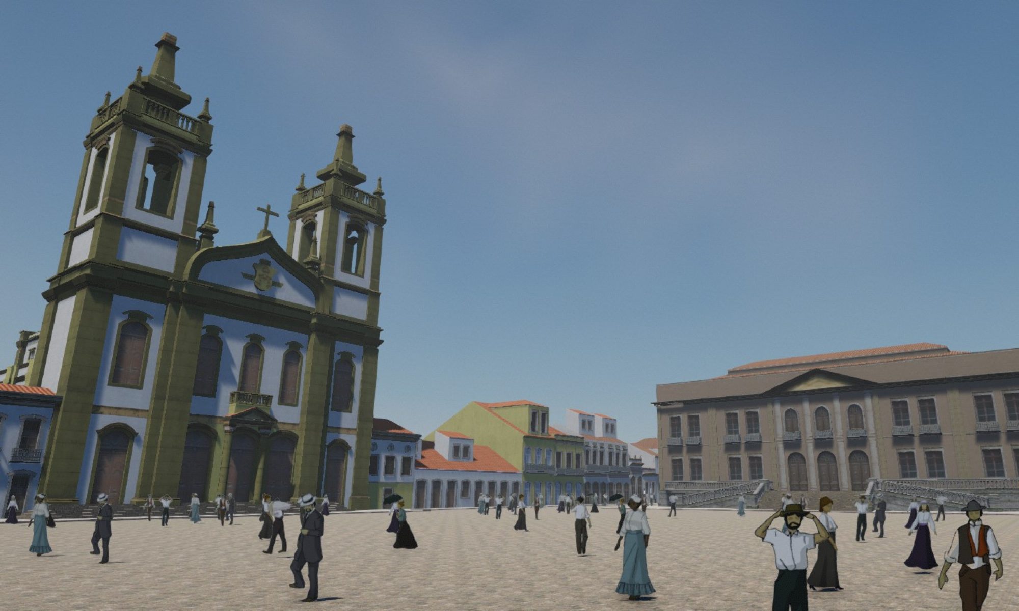
This paper describes the digital augmentation of a book on the contribution of foreign architects to Rio de Janeiro in the first decades of the 20th century. It focuses on the process of modeling and displaying 3D models of the buildings using the book pages as AR targets. It discusses the concept of augmented reality as the perception of a symbolic layer on real space; and AR as an artistic practice of spatial appropriation and hierarchical disruption.
Caronae ridesharing and first steps into commuting opportunitie of academic exchange
Location-based mobile applications have been a rising theme for academics inthe field of urbanism and in urban and transportation, because of the potential oftransformation they might bring to the urban landscape (De Souza e Silva, 2013).One of the possibilities we study here is to observe social encounters fostered bycommuting rides. In this paper, we try to examine the practice from the broadperspective of estimating the environmental benefits, in a context where digitalinformation technology is wielded to address problems old and new (Townsend,2014). This paper aims to analyze the potential of transformations that new ICTsbring to urban mobility, using as case study the official ridesharing system of theFederal University of Rio de Janeiro, the Caronaê project. The system wasdeveloped focusing on the reduction of the number of motorized trips to theUniversity, as well as the amount of CO2 generated by them. Here we analyze thedynamics of ridesharing, using the system data, and also try to observe the role itmay play towards the promotion of integration in the UFRJ community.
Arquitetos estrangeiros no Rio de Janeiro no século XX: bancos de dados de objetos culturais
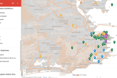
This paper describes a database to catalog buildings designed and constructed by foreign architects that helped shape Rio de Janeiro in the 20th century. The website is in its preliminary stages, just after data collection, and the data structure and interface focus on further expanding possibilities for recording and showing the relationships among records, apart from records themselves. From the experience with the project, the paper also aims to discuss databases, in particular those representing cultural objects, as expressive forms, and some of their expressive mechanisms.
Augmented Reality Visualization of the Agache Plan
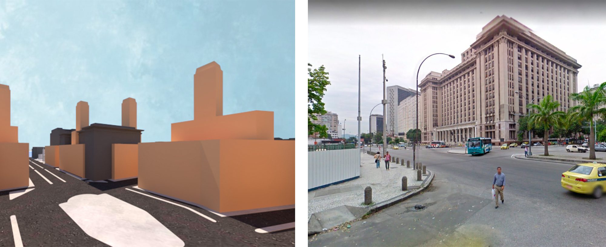
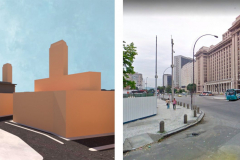
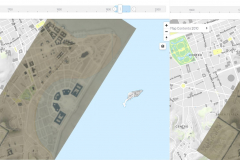
This article describes a study on the 1930 Extension – Remodeling – Beautification Plan of the city of Rio de Janeiro, elaborated by Alfred Agache but only partially built, and its influences on the city. The research is divided in two stages: the first comprises the examination of primary and secondary sources in order to obtain a better understanding of the Plan, including the geolocation of the information gathered; the second involves the elaboration of this information in a 3D model and its visualization in two different Augmented Reality systems for public consultation by students and researchers.
O Setor Histórico de Curitiba na construção da imagem da ‘cidade-modelo’ de Curitiba
O presente artigo é parte da pesquisa de dissertação que analisa a estratégia de preservação dos bens arquitetônicos de Curitiba e o vínculo desta ao projeto de “cidade-modelo”, desenvolvido a partir da década de 1970 e persistido por cerca de quatro décadas. O objetivo é compreender a construção da noção de patrimônio em Curitiba, através da identificação dos conceitos e valores que guiaram este processo para que se possa contribuir socialmente para reflexão dos futuros processos de reconhecimento do patrimônio e para a resistência às iniciativas com fins unicamente conômicos. A hipótese levantada é que as estratégias patrimoniais desenvolvidas, entre os anos de 1970 e 2010, caracterizaram-se como instrumento fundamental na construção da imagem da “cidade-modelo” de Curitiba. A verificação dessa hipótese consiste na análise dos referenciais internacionais e nacionais que construíram as noções de patrimônio que incidem sobre as escalas locais, influenciando a prática da preservação das cidades. O estudo da
implementação destes padrões globais em Curitiba é desenvolvido através da análise das legislações e práticas que compuseram a estratégia patrimonial com enfoque nas décadas de 1970 e 1990, que concentram as principais intervenções patrimoniais e do projeto de cidade desenvolvido. Assim, este artigo aborda a criação do Setor Histórico de Curitiba como importante
instrumento do projeto de “cidade-modelo”.
Between the Cloud and the Concrete: The Data Center as a cybernetic Heterotopia
The imminence of the Information Era brings with it profound changes in the society, and in Architecture field, new challenges are presented practically in all its dimensions. It has changed ways of think and practice, and new demands appears as new questions to the architects. In this paper, we analysis the Data Center as an Architectural problem, considering its existence in a functional and symbolic way, which represents, with its materiality, the visible
face of the ethereal “Cloud” where all the modern society is supported.
Panoramapp! A virtual Panorama Experience
Abstract
Since the great popularity of smartphones and tablets, many applications have been developed to create digital panoramas. However, its
focus is turned for the seamless of the pictures and not what we can explore and understand of its different subjects. This article intends
to investigate the use of a new concept of an app for digital panoramas. We assume that Panoramapp! can broaden the understanding
the history of the cities by its panoramas and panoramic views, an alternative way to develop an iconographic hyper document of the
central area of the city of Rio de Janeiro.
O Panorama sequencial: um passeio virtual pela Rua da Carioca no Rio de Janeiro nos séculos XIX-XX
ABSTRACT
This article intends to investigate the possibilities of digital representation of Carioca Street in the Rio de Janeiro of 19th Century
by a promenade of digital panoramas through the observator’s eye experience. To do this, it is necessary to develop 3d models
and digital panoramas of the old city, based in a historical maps, and compare the panoramas of nowadays offered by the street
view of the Google earth. We belive that in this way we can see architectural changes in Carioca Street at the same time which
we can experience the old street again.
Panoramas Multi-Layer e computação Gráfica: Uma “outra” interpretação para a História Urbana
Abstract — This article intends to investigate the use of a
Panorama Multi-Layer as an alternative tool to broaden the
understanding of cities’ modifications. We assume that a
Panorama Multi-Layer can convey unusual interpretations that
could identify significant changes in special areas of cities over
time. The hyper document comprises several interactive
panoramas; each one of them is a historical layer of the city.
Cylindrical panoramas, maps and hotspots compose the interface
and all these elements are interactively combined through
multimedia authoring software. This paper aims to demonstrate
new possibilities with digital and interactive panoramas, and a new
way to understand changes in a central area within the city of Rio
de Janeiro.
O Setor Histórico de Curitiba na construção da imagem da ‘cidade-modelo’ de Curitiba
RESUMO
O presente artigo é parte da pesquisa de dissertação que analisa a estratégia de preservação dos bens arquitetônicos de Curitiba e o vínculo desta ao projeto de “cidade-modelo”, desenvolvido a partir da década de 1970 e persistido por cerca de quatro décadas. O objetivo é compreender a
construção da noção de patrimônio em Curitiba, através da identificação dos conceitos e valores que guiaram este processo para que se possa contribuir socialmente para reflexão dos futuros processos de reconhecimento do patrimônio e para a resistência às iniciativas com fins unicamente econômicos. A hipótese levantada é que as estratégias patrimoniais desenvolvidas, entre os anos de 1970 e 2010, caracterizaram-se como instrumento fundamental na construção da imagem da “cidade-modelo” de Curitiba. A verificação dessa hipótese consiste na análise dos referenciais internacionais e nacionais que construíram as noções de patrimônio que incidem sobre as escalas locais, influenciando a prática da preservação das cidades. O estudo da implementação destes padrões globais em Curitiba é desenvolvido através da análise das legislações e práticas que compuseram a estratégia patrimonial com enfoque nas décadas de 1970 e 1990, que concentram as principais intervenções patrimoniais e do projeto de cidade
desenvolvido. Assim, este artigo aborda a criação do Setor Histórico de Curitiba como importante instrumento do projeto de “cidade-modelo”.
Palavras Chave: Curitiba; “cidade-modelo”, imagem da cidade, política patrimonial.
