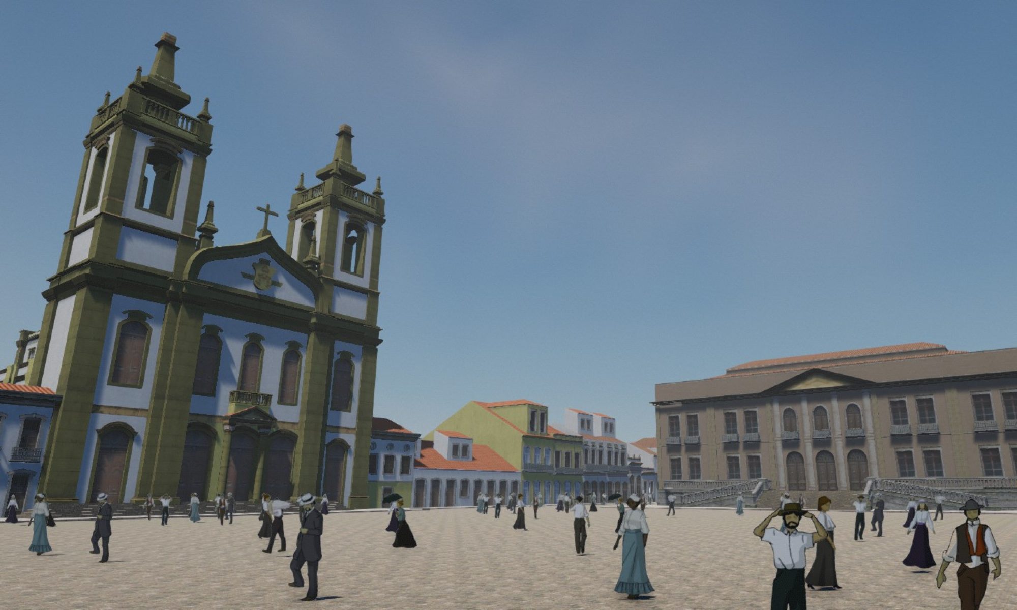
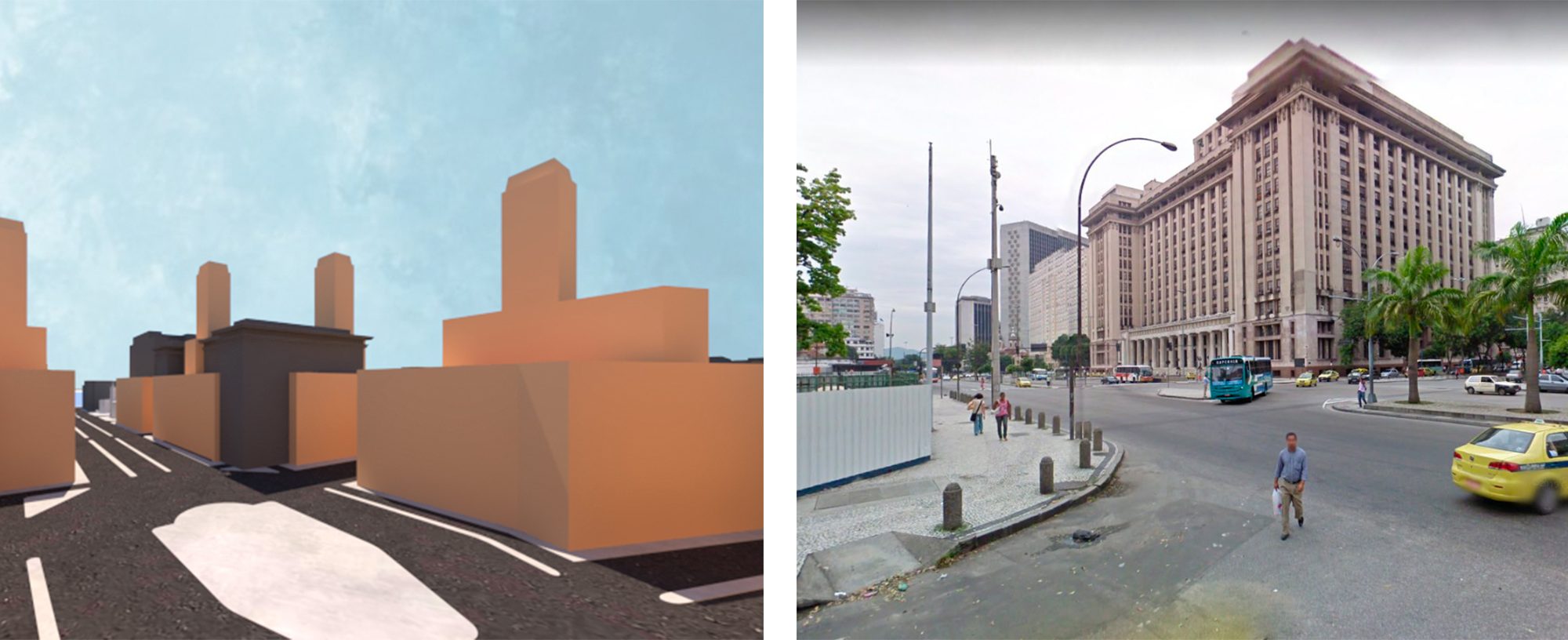
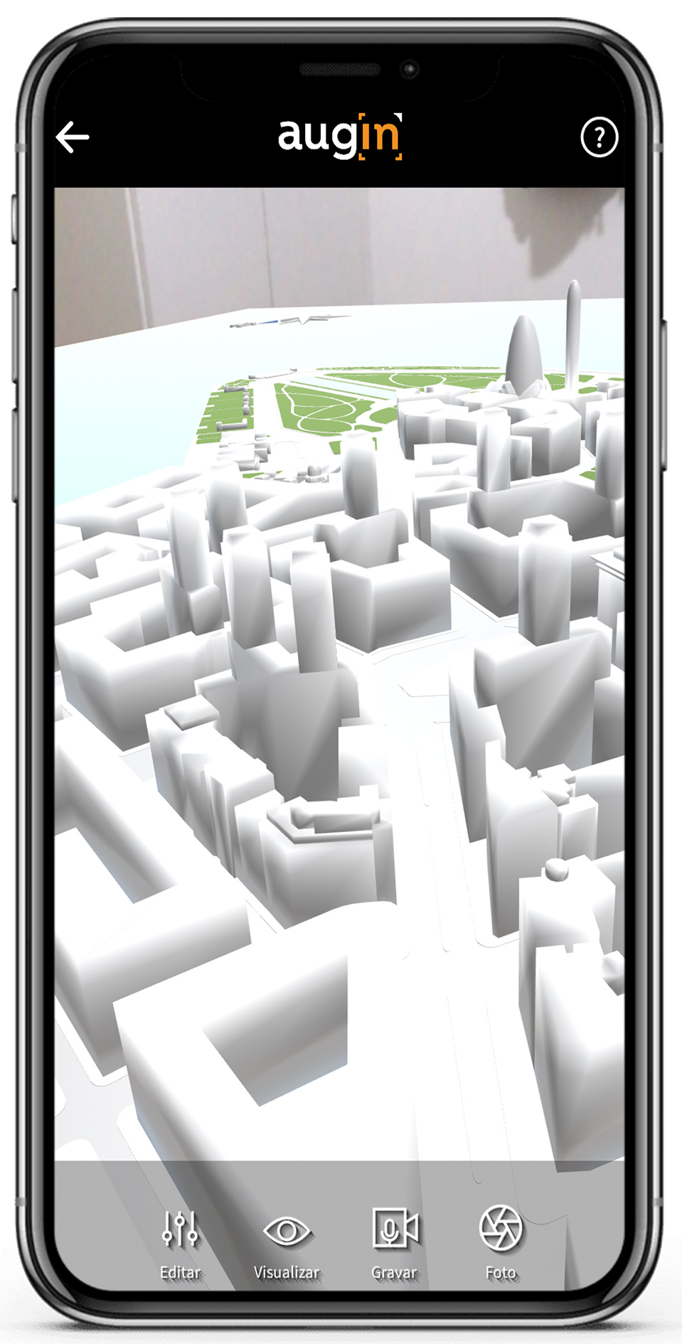
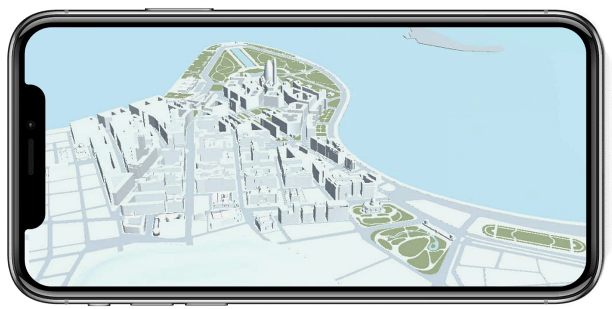
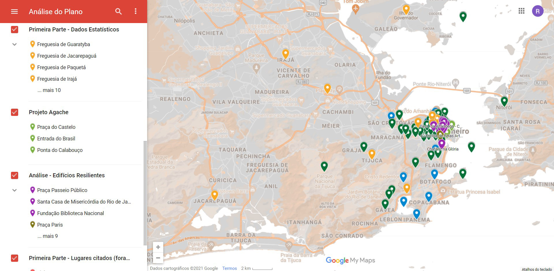
This article describes a study on the 1930 Extension – Remodeling – Beautification Plan of the city of Rio de Janeiro, elaborated by Alfred Agache but only partially built, and its influences on the city. The research is divided in two stages: the first comprises the examination of primary and secondary sources in order to obtain a better understanding of the Plan, including the geolocation of the information gathered; the second involves the elaboration of this information in a 3D model and its visualization in two different Augmented Reality systems for public consultation by students and researchers.
Autores
Ano do texto: 2021
Citação ABNT
Paraizo, Rodrigo Cury; Coura, Maria Clara de Oliveira; Vicente, Taís da Costa; Bastos, Beatriz; “Augmented Reality Visualization of the Agache Plan”, p. 699-712 . In: XXV International Conference of the Iberoamerican Society of Digital Graphics. São Paulo: Blucher, 2021.
ISSN 2318-6968, ISBN: 978-65-5550-232-9
DOI 10.5151/sigradi2021-137
